

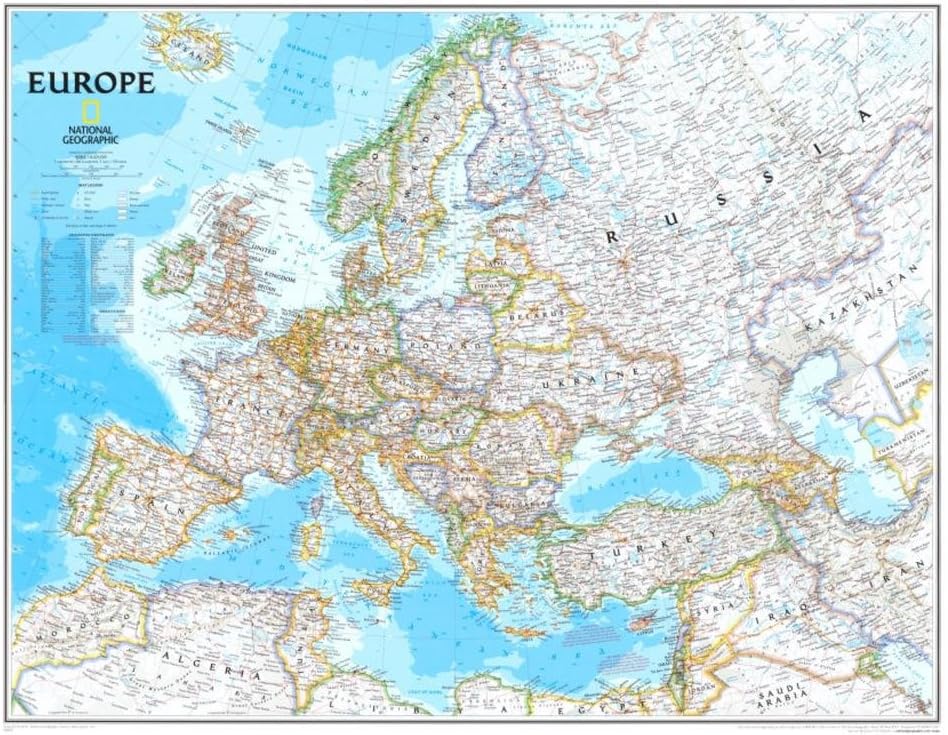
National Geographic World Classic Political Wall Map - 36 x 24 inches - Art Quality Print
Product details
| Management number | 211706158 | Release Date | 2026/04/04 | List Price | $18.00 | Model Number | 211706158 | ||
|---|---|---|---|---|---|---|---|---|---|
| Category | |||||||||
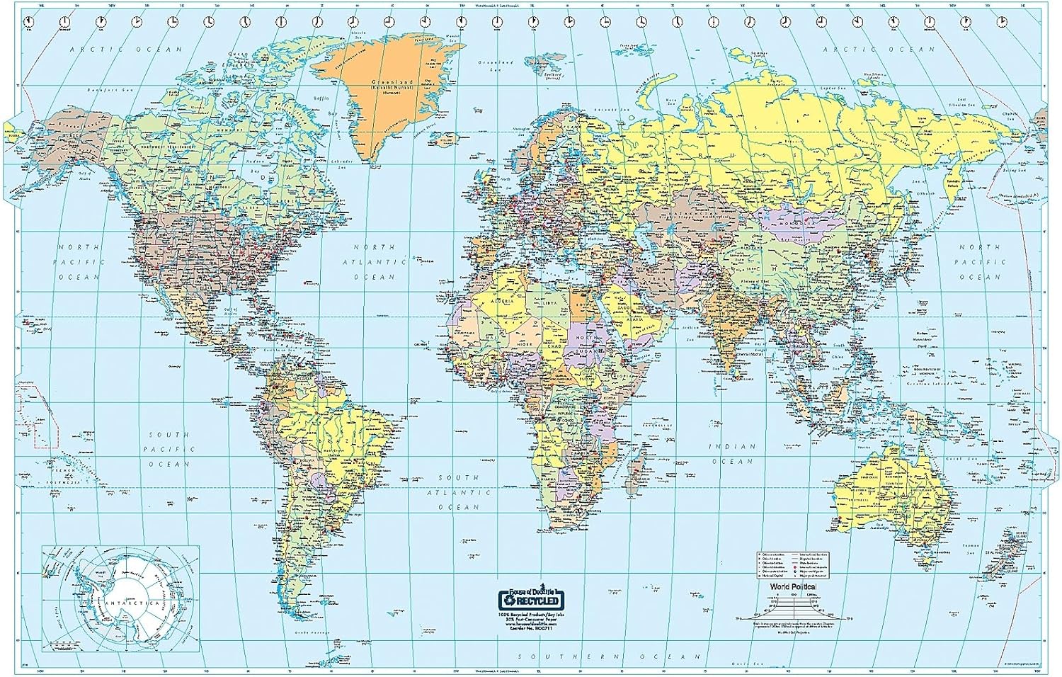
National Geographic's Classic map of the world provides a detailed geographic view of national and regional boundaries. Perfect as a personal reference map pinpointing your travels both past and future, this map can also be a tool for businesses to display global office, supplier and distribution locations. This map is in a convenient poster-sized format.The signature Classic style map uses a bright, easy to read color palette featuring blue oceans and stunning shaded relief that has been featured on National Geographic wall maps for over 75 years. Drawn in the Winkel Tripel projection, distortions of land masses around the poles are minimized: unlike many other World maps, Greenland is accurately shown as the same size as Argentina and not the size of all of South America.Thousands of place names are carefully placed on the map to maintain legibility even in the heavily populated areas of Europe, Asia and the Middle East. Details include clearly defined international boundaries, cities, physical features, rivers, and ocean floor features. Corner inset maps feature vegetation and land use, population density, and the north and south polar regions.National Geographic's maps are the standard by which all other reference maps are measured. They are meticulously researched and adhere to National Geographic's convention of making independent, apolitical decisions based on extensive research using multiple authoritative source.Printed on polypropylene, an ideal material for wall maps as the printing brings out rich colours, and crisp edges for readability. The material is stronger than most papers and unlikely to crease or rip. The matte finish eliminates glare, and adds texture to the map. Ideal for display.Your map is rolled and packaged in a sturdy tube to protect it during shipment.
- CLASSIC MAP FOR CLASSROOM OFFICE OR HOME: Perfect size for a gallery wall collection - the subtle colours will match many decor styles!
- CHART YOUR ADVENTURES: Clear and up-to-date boundaries and cities make it easy and fun to pinpoint your global travels.
- QUALITY PRINT: Printed on Polypropylene for rich clear colour and legibility. Makes for a beautiful product on your home, school or office wall.
- DURABLE MATERIAL: This quality print material won't easily crease or tear in shipping or with use
- ICONIC CARTOGRAPHY: National Geographic's maps are the standard others are measured against. You can count on this product having the highest quality content and display in the industry.
| UPC | 749717038578 |
|---|---|
| Color | blue |
| Map Type | Physical, Political |
| Brand Name | National Geographic |
| Paper Size | 36 x 24 Inches |
| Item Weight | 0.26 Kilograms |
| Manufacturer | MapSherpa |
| Paper Finish | Matte |
| Item Dimensions L x W | 24"L x 36"W |
Bestseller ranking
Maps


Correction of product information
If you notice any omissions or errors in the product information on this page, please use the correction request form below.
Correction Request Form